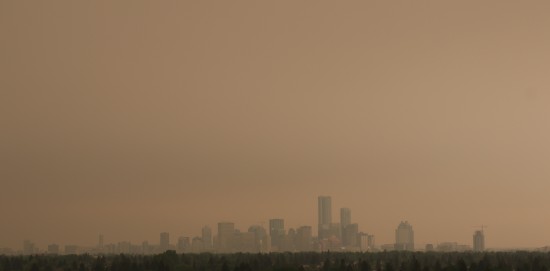
As I was producing an experiment that modelled the PocketLab Air as a device to give early warnings of forest fires, there were already many burning across western Canada where I live. One such fire was near the city of High Level (470 miles from Edmonton), which was on the scale of 230,000 hectares at the time. While much of northwestern Alberta was evacuated, the smoke affected almost all of Alberta, spreading all the way down to Calgary, and creating a haze with a very post-apocalyptic feeling to it.
The particulate matter data from the PocketLab Air and photos below were collected from the roof of an 8-storey residence building at The King’s University in Edmonton at 11:50 am and 4:40 pm on May 30th. Both photos are facing the same direction from the roof.


